
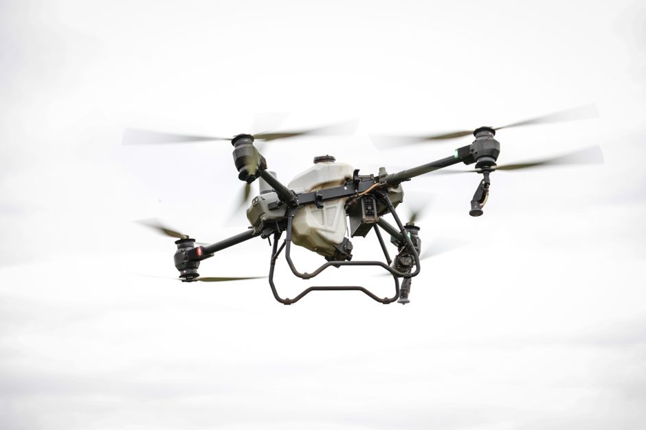
Imagine you’re tasked with mapping a construction site, a remote area, or a changing landscape. Accuracy, speed, and safety all matter. Survey drones have transformed how professionals capture elevation data and site information, but choosing the right technology for topographic surveys isn’t always straightforward. From camera specs to automation features, every choice impacts your results, and your workflow.
Key factors when selecting drones for topographic surveys
When comparing drones for topographic surveys, several factors determine whether your investment delivers real value. The accuracy of the onboard GPS and the quality of the camera sensor are crucial. For mapping and modeling, look for drones with high-resolution cameras, RTK or PPK positioning, and stable flight control. These features ensure that each flight captures precise data you can rely on.
Flight time and battery life also influence your project’s efficiency. Surveying a large area is much easier when your drone can remain airborne for longer stretches, reducing the number of battery swaps and takeoffs. Rugged construction, weather resistance, and straightforward software integration further streamline field operations for survey professionals.
Survey drones versus other UAV solutions
The terms “drone” and “UAV” (unmanned aerial vehicle) often get used interchangeably in the industry, but there are distinctions in their use cases. In commercial contexts, a survey drone typically refers to a complete solution designed for mapping, with advanced sensors and integrated software. General UAVs might include fixed-wing or multi-rotor platforms used for various purposes, from photography to surveillance.
For topographic applications, the right survey drone comes with specialized payloads and automation capabilities tailored for accurate terrain modeling. If your work involves regular aerial mapping, these dedicated systems simplify data collection and processing compared to manually retrofitting a general-purpose UAV.
Commercial and utility applications: Beyond land surveys
While drones for topographic surveys are essential in land development and civil engineering, their role extends further. Utility inspection teams now rely on drone inspection to safely assess power lines, pipelines, and other infrastructure. Equipped with high-resolution or thermal cameras, commercial drones can quickly identify faults or vegetation encroachment, all without sending workers into hazardous environments.
Drone security applications are also growing. Automated patrol flights and real-time monitoring support perimeter control and asset protection, especially at remote or critical sites. By integrating security-focused features, modern survey drones add value well beyond basic mapping, supporting multiple workflows on a single platform.
Special considerations for environmental and wetland mapping
Environmental professionals require reliable mapping tools to monitor sensitive areas. Choosing drones for wetland mapping means focusing on models with multispectral imaging or LiDAR sensors, which can capture subtle changes in vegetation, water levels, and habitat boundaries. These capabilities allow for precise data collection in areas where traditional fieldwork is slow, disruptive, or even impossible.
Flight planning software that supports automated, repeatable missions ensures consistent results over time, essential for environmental monitoring and compliance projects. Drones with low noise footprints and minimal ground disturbance are also preferred to protect these vulnerable ecosystems.
Where to find deeper guidance on drone selection
The market for commercial drones is expanding rapidly, and new features are arriving each year. To get a detailed comparison of leading models, or to understand how regulations might affect your project, look for a comprehensive survey drone buying guide or consult a professional specializing in drone utility inspection. These resources offer side-by-side breakdowns, field test data, and scenario-based recommendations to help you match your needs to the right platform.